
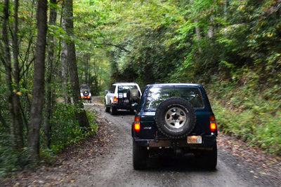
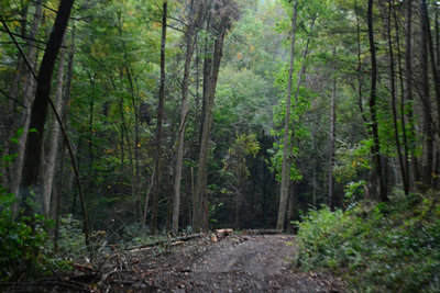
Coming In on Davis Creek Road
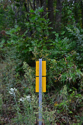
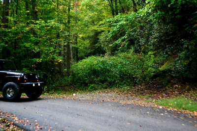
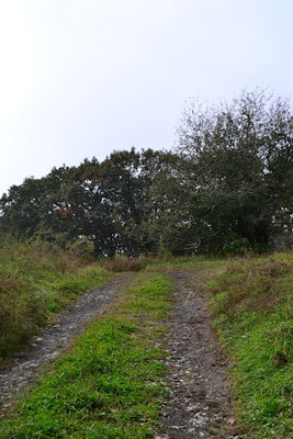
Where the Paystation Used to be
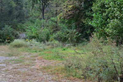
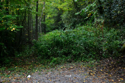
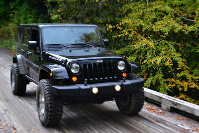
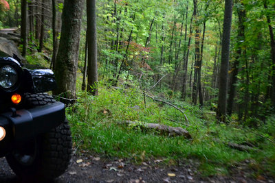
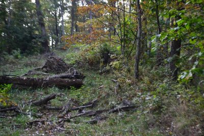
In front of the old parking lot/unloading area, they turned it back into a hillside
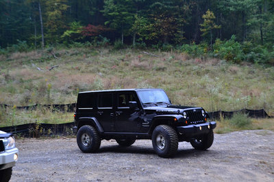
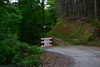
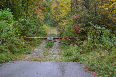
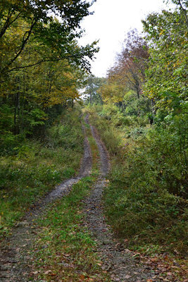
The old exit to Upper 2
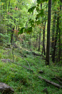
Trail 4
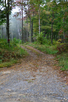
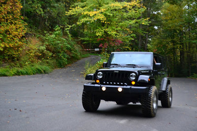
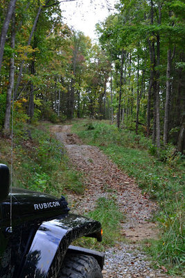
There are many places like this where they straightened out the curvy road
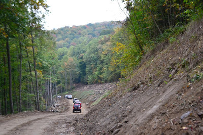
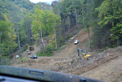
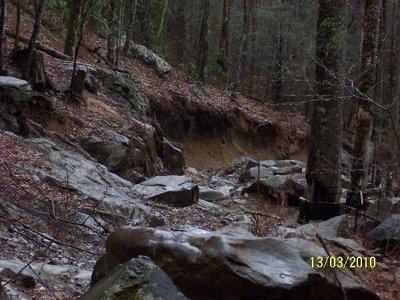
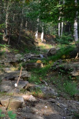
This is where they are reconstructing some of the switchbacks...sediment? what sediment...
More to come.
Where the Paystation Used to be
In front of the old parking lot/unloading area, they turned it back into a hillside
The old exit to Upper 2
Trail 4
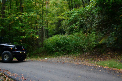
There are many places like this where they straightened out the curvy road
This is where they are reconstructing some of the switchbacks...sediment? what sediment...
More to come.
 : But Yea I don't think it is him.